|
The Newberry Springs Community Alliance has been
participating with the California Historic Route 66 153-mile Corridor Management
Plan (CMP) that is being preparded by Lardner/Klein of Alexandra, Virginia on behalf
of the Bureau of Land Management and in association with the California Historic Route
66 Association.
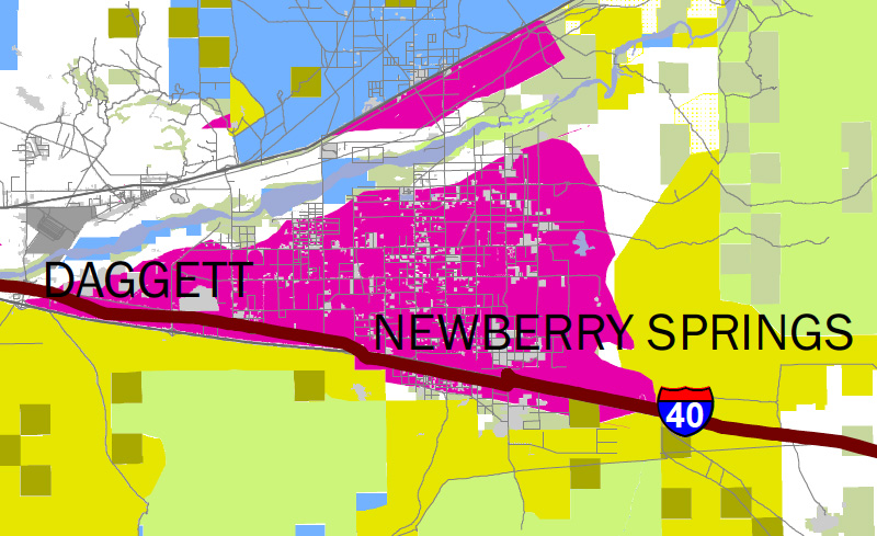
The map was specifically designed as part of the Route 66 CMP
to show the potential impact of the DRECP upon Route 66. Clicking on
the above map will open a 4.3MB PDF map, in a new browser window, that can be zoomed for detailed
viewing of the DRECP's Preferred Development Focus Areas in the Silver Valley.
|